''Certificate''
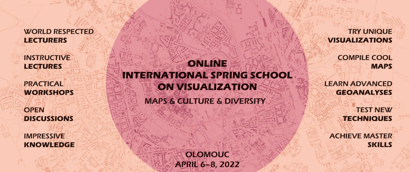
Attended three days International Spring School with faculty of University of Olomouc, Czech Republic. Professor Vit Vozenilek opened the session. Introductory lecture was delivered by Professor Ferjan Ormeling from Utrecht University, Netherlands. The second part of the day were more focused on American Culture and Literature with Reference to Historical Maps. Cultures of the big empires with respect to territory that existed in historical times were also studied. In the end a Guided Practice session was carried out related to process of historical map creation.
On the second day, Credibility of Traditional Maps were focused during the 1.5 hour session. The later part addressed by Justin Van Dijk from University College London. It was focused on how Geographical Information Systems has revolutionized the domain of Cartography. The scientific maps that previously used to take lots of time for creation can now be generated with a lot less time and effort. In later Part, there was a guided session on visualizing and analysing Geographical data using QGIS. The output of the session was a basic map made in QGIS for data visualization of Great Britain.
Third day opened with Quiz related to General Geographical Knowledge. The quiz was on Kahoot. In Kahoot time of response to the answer matters for the calculating the score in addition to the correct answer. Questions related to QGIS and map atlas were asked. My CDE classfellow Zhibek Solpieva stood among lead scorers for the Quiz. Then there was a lecture on scientific arguments and myths related to maps of California for 17th and 18th Century. The session closed with a Question-and-Answer session with Professor Vit Vozenilek.
A quick visualization in QGIS for display of map data provided during the lecture is shown below.
Source data can be found within the exercise data folder available through git under 'exercise_data' folder.
Sessions were conducted by following experts: