Advanced Studies
Institutes (ASI)
Coastal Zone Hazards -
France, Japan, Indonesia
University of South Brittany,
from 5th to 17th of June 2023
Introductory Session
Marine geology Coastal / shelf systems response to climate change
David MenierRemote Sensing of coastal hazards and Field trip I
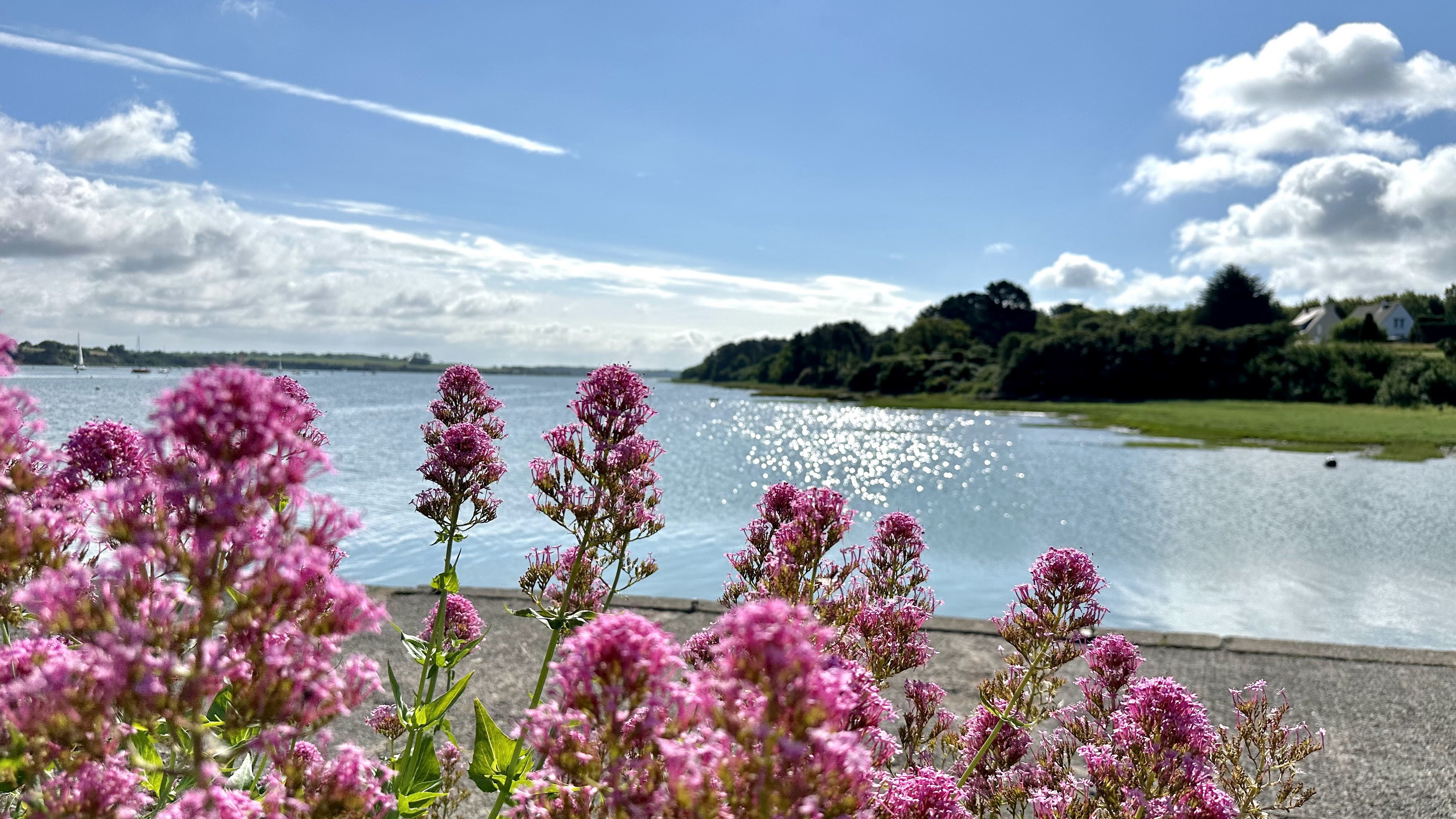
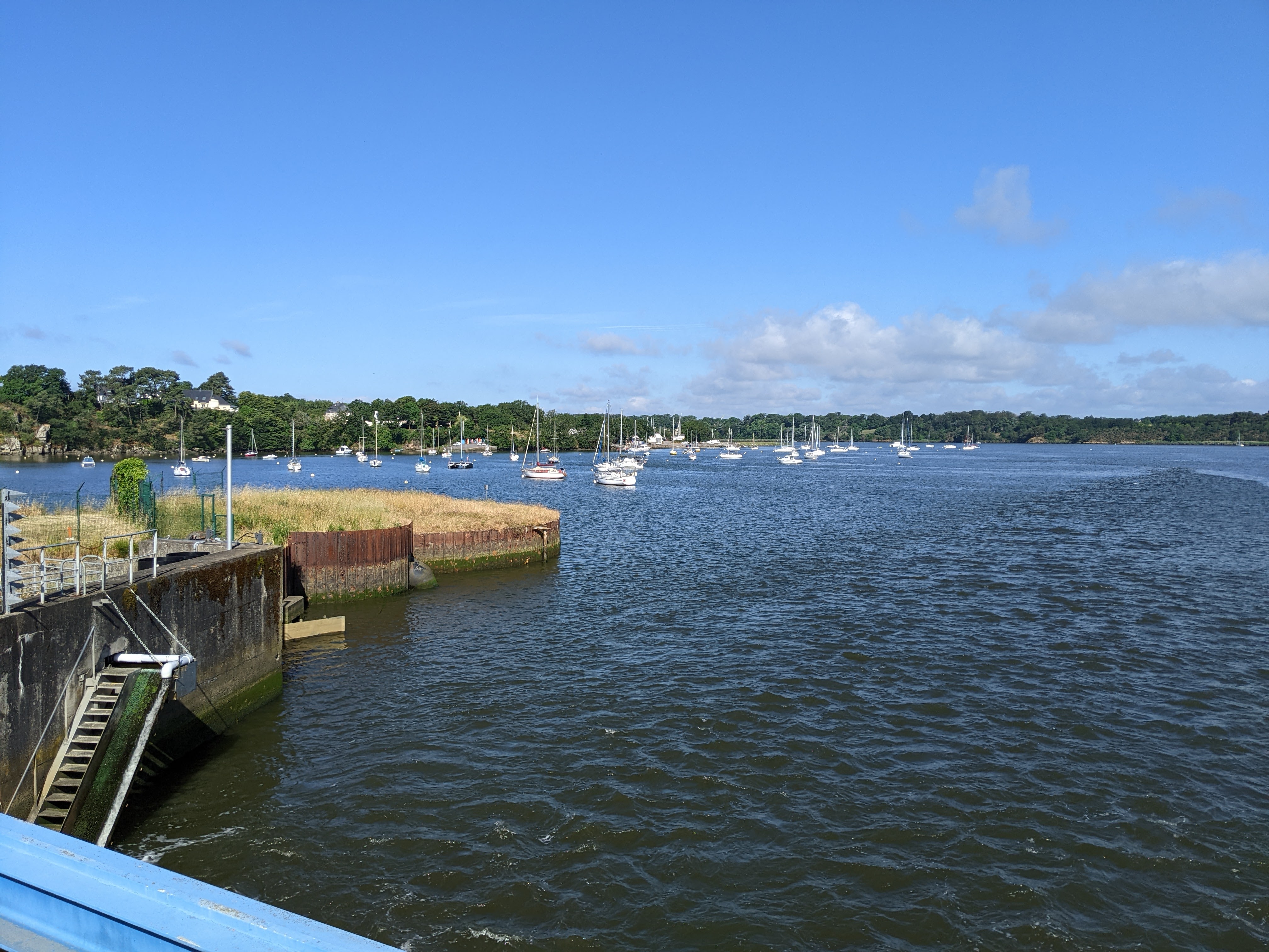
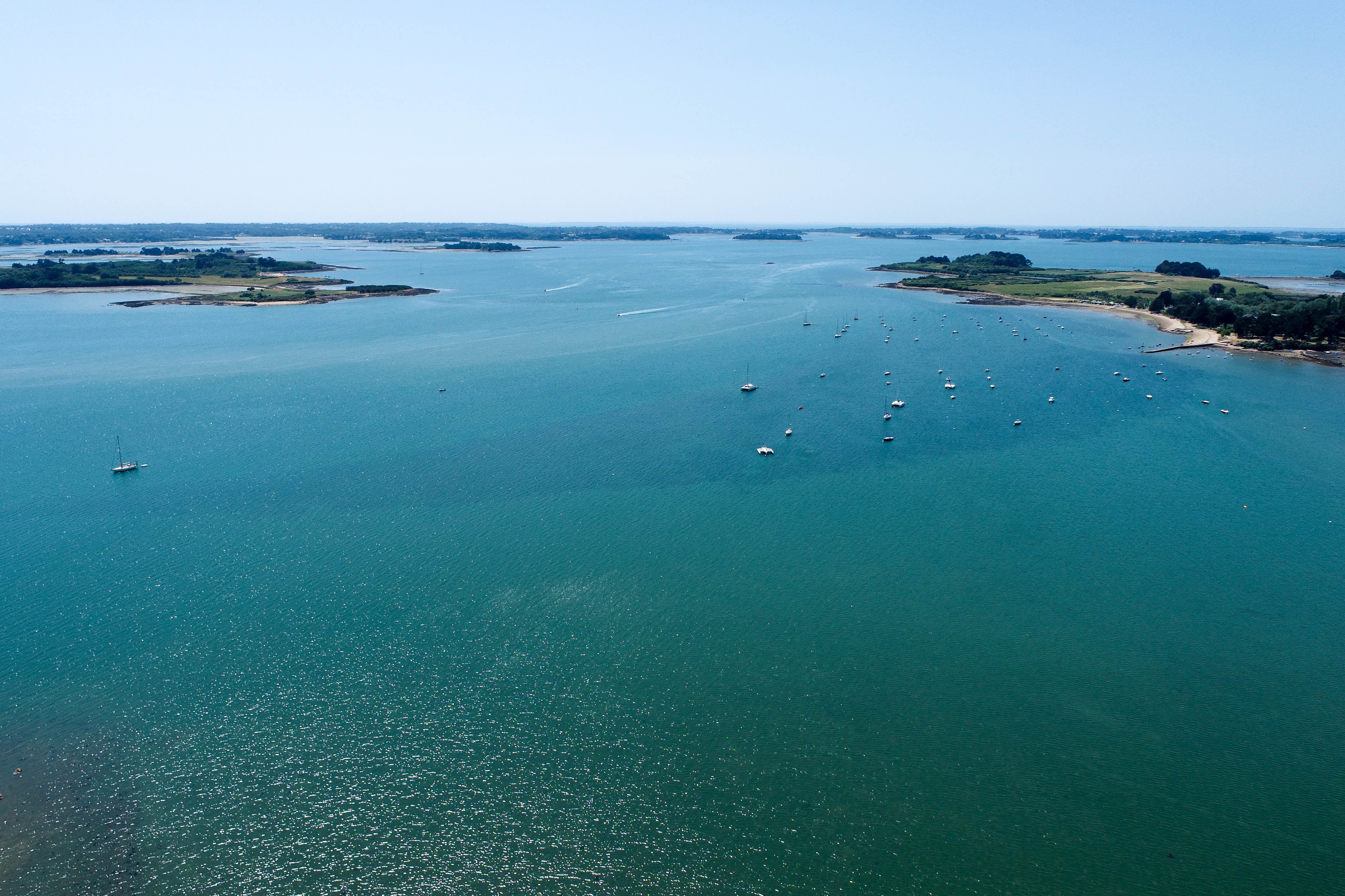
Brief about use of satellite images for coastal monitoring. Visit to Island île d’Arz in Gulf du Morbihan
Koch, MeyerDeep learning for spatial data
Usefulness in tasks such as image recognition, object detection, segmentation, and spatial forecasting
Sebastian LefèvreActive Remote Sensing
SAR image processing for mapping active coastal geomorphic features and GIS applications in coastal zone disasters and resilience studies
Meyer, GopalField trip II
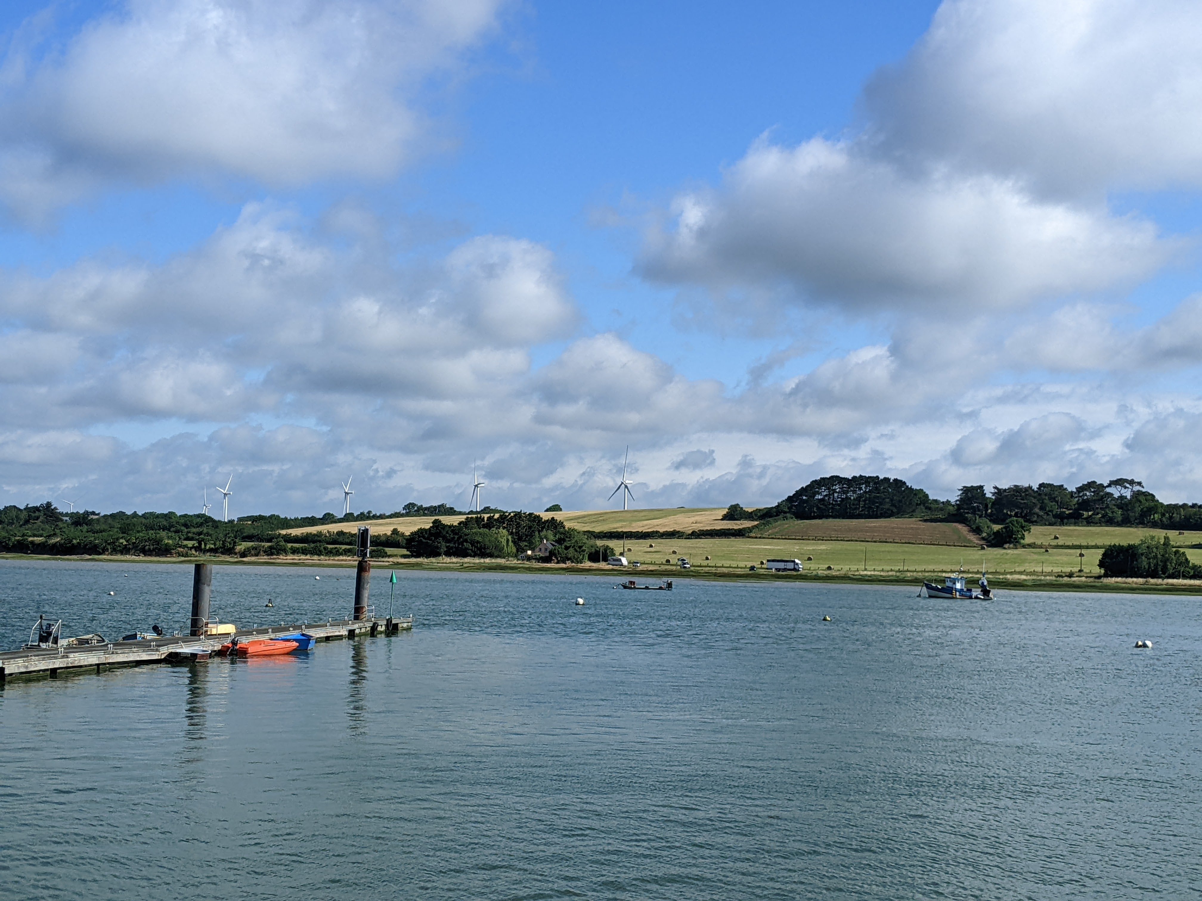
LiDAR survey demo and visit of cliff erosion, flood control Dam and Fresh water harvesting sites at Pénestin, France
Menier, Gensac, Koch, Gopal, MeyerBathymetry
Seismic profiles of coastal shelf system. Surveying for coastal bathymetry with LiDAR and SONAR sensors. Old vs New Bathymetric Maps
David MenierCoastal oceanic environments and Geology
Coastal and oceanic environments; sedimentary morphodynamics; remote sensing data processing and analysis; Geomorphic response to active tectonics
Gensac, RegallaDeep learning for temporal data
Time Series Forecasting: the goal was to predict the next values of a time series using past knowledge.
Charlotte PelletierField trip III
Visit of the Submarine Base located in Lorient, France. Meeting with Roselyne Le Squère, Head of Research Department
Roselyne Le SquèreFinal student presentations
Course summary and review, course evaluations Discussion of future steps to develop joint publications and research work
StudentsWe did some interesting stuff in our field work.
Sedimentology and the Colorful Rocks of Pénestin: a loose sedimentary formation resting in discordance on mica schists and the gneiss. This sedimentary formation, called the "Penestin formation", corresponds to Eocene, clayey, colorful, thin deposits, followed by a plio-quaternary formation represented by yellow sands and red pebbles resting on a ferruginized conglomerate slab. Then come ochraceous layers, colored pebbles with red-brown patina, beige silts, clay facies with periglacial characters, pingos and ice wedges.
The island in Gulf du Mobihan: L’île d’Arz
The Submarine Base
Submarine museum: It is open to the public from 1997. The museum features the preserved submarine Flore, a submarine, a simulator, and tours of the K III bunker.
of steel-reinforced concrete to make the roof. This can be seen by visiting the mueseum La Base Lorient, France.
inauguration in Lorient, France
Lecture
During a lecture, the instructor imparted knowledge to the students. Lectures served for conveying content, new concepts, theories, ideas and insights. They covered a wide range of academic disciplines, including but not limited to geoinformatics, oceanic sedimentology, and data science.
Lab and Demo
These sessions provided practical hands-on experience and complemented the theoretical concepts covered in lectures.
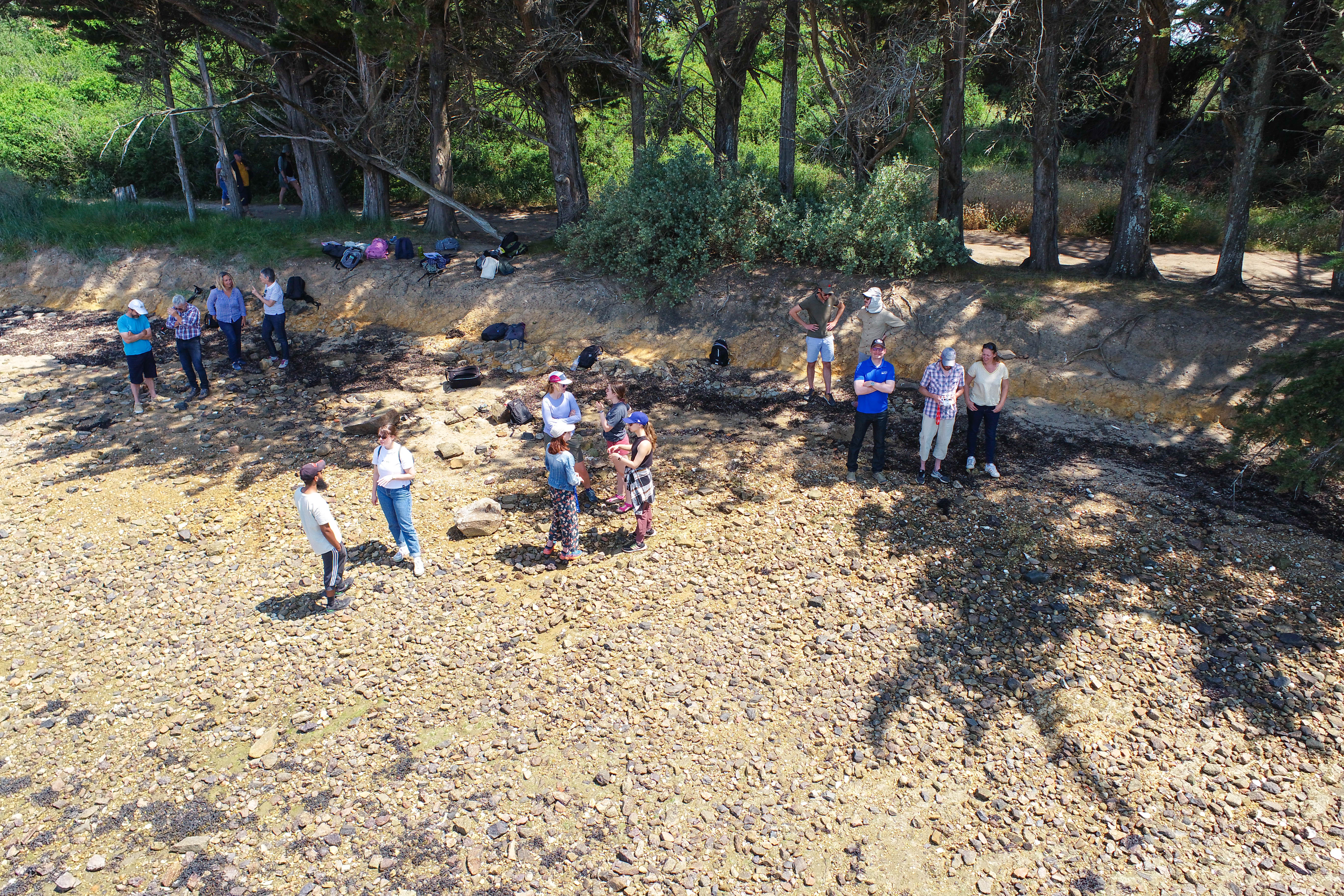
Field Visits
The trips to a relevant location were pre-planned that would enhance our understanding. The purpose of the field trip was to provide practical exposure and firsthand experience related to our course material. It allowed us to witness real-world applications and deepened our knowledge beyond what we could learn in the confines of the classroom. The trips fostered a sense of curiosity and enthusiasm for the field of study.
Program Overview
“The Advanced Studies Institutes (ASI) program for U.S. graduate students is supported by National Science Foundation (NSF) and provides students with the opportunity to engage with global experts in coastal zone hazard research. Each year a cohort of 14 U.S. graduate students will participate in a two-week summer program to be held in one of the three participating research centers abroad, i.e., University of South Brittany in France (2023), Tohoku University in Japan (2024), and University of Diponegoro in Indonesia (2025). The program is jointly run with foreign site collaborators and U.S. collaborators at Boston University, Northern Arizona University, and University of Alaska Fairbanks.”Magaly Koch, Professor.
Adored by students
And hear from the participatants in 2023!!
"Sediment Dynamics Along the Alaskan Beaufort Sea Shelf During an Open Water Season: A Numerical Modeling Study"
University of Colorado Boulder
"Tectonic geomorphology of NE Sicily: interactions of sea-level, tectonics, and climate in sedimentary archives and geomorphic markers"
Natalie Tanski
Utah State University
"Analysis of Hellshire Beach, Jamaica"
Catherine Lee Hing
Stanford University
"Addressing Management Techniques in Barbados Using Lewis 2002 as Coastal Baseline "
Aliyah Griffith
University of North Carolina Chapel Hill
"Compiling data associated with a Multi-scale Integrated Model of Ecosystem Services (MIMES) and (MIDAS) in the Gulf of Maine"
Mira Kelly-Fair
Boston University
"Variability of estuarine-ocean fluxes in a chain of Arctic estuaries"
Christina Geller
University of Colorado Boulder
"Shear Strength Development During Early Burial on Seismically Active Margins: A Geotechnical Investigation into Seismic Strengthening"
Bailey Fitzgerald
The Ohio State University
"Data Pollution and Savage Algorithms Brentwood, DC Air Quality Issues"
Raquel Friedman
Harvard University
"Waste management for the ISS using saltwater microalgae"
Jennifer Gil Acevedo
Univeristy of Puerto Rico
"Exploring feedbacks between coastal topography and sediment deposition on tidal to decadal timescales"
University of North Carolina at Chapel Hill
"Contribution of multi-angular satellite remote sensing to monitoring and understanding cliff erosion"
Zoé Bessin
Université Brest
"LiDAR Full Waveform Bathymetry with Deep Learning"
Saad Ahmed Jamal
Université Bretagne Sud